Τopographic survey for the needs of the sustainable mobility study
- 9/1/2018
- Municipality of Papagou - Cholargos
- 2018
- Finished
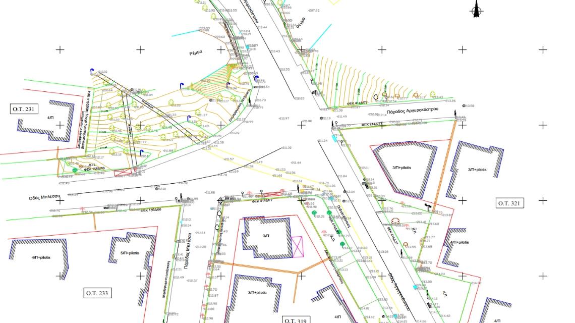
This land survey aims to facilitate the sustainable mobility study of the Municipality.
Six densely populated areas that are included in Municipality’s sustainable mobility study were included in tis study. The aim of the land survey is to facilitate the sustainable mobility study by recording all necesssary data including traffic, pedestrian flows, pavements, etc.